Researchers strive to better understand how and why hurricanes rapidly intensify into deadly storms
story by Josh Rhoten published July 11, 2024
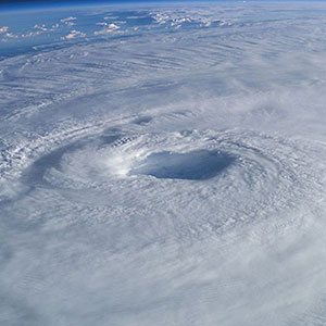
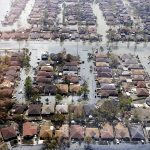
On Oct. 25, 2023, Hurricane Otis slammed into Acapulco, Mexico, with little warning as a Category 5 hurricane with sustained winds of 165 mph.
Otis was originally predicted to be a weak offshore storm. But over a 24-hour period it grew quickly – eventually putting more than a million people at risk with little time to prepare. The storm wound up causing billions of dollars in damage and resulted in 52 deaths. Today it is known as one of the biggest forecasting misses, because models and satellite technology failed to predict its ultimate strength.
Storms like Otis that evolve into dangerous hurricanes usually undergo a process known as rapid intensification, which makes their true impact hard to predict. Simply put, rapid intensification is an increase in maximum sustained winds of at least 30 knots (35 mph) in a 24-hour period. This process is well known by researchers and is driven by environmental factors such as warm ocean water, humid air and wind patterns. In fact, about 80% of major hurricanes greater than Category 3 will undergo rapid intensification at some point in their life cycle.
But researchers are increasingly interested in the other, more granular internal processes and structures of the storm that are currently less understood as drivers of that intensification process. The height of the storm over its lifespan, for example, may play a role, and a better understanding of those kinds of variables should help forecasters prevent another situation like Otis.
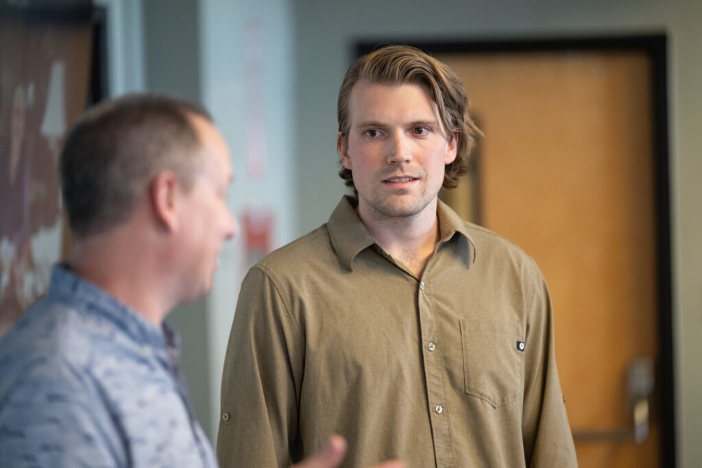
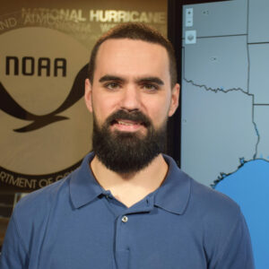
Alex DesRosiers recently earned his Ph.D. studying these issues through the Department of Atmospheric Science at CSU. He said that from 1989 to 2018, rapid intensification was successfully predicted only about 3% of the time in the Atlantic, while storms that underwent that process were among the largest and most destructive.
Researcher Alex DesRosiers specializes in observations of tropical cyclones and mechanisms of intensity change.
With researchers calling for another active hurricane season in 2024 due to warmer ocean temperatures that are key to supercharging storms, he said, any advantage in predicting how and when the process will play out could be useful.
“What matters is what is going on under the hood,” said DesRosiers. “How aligned is the vortex? How deep is the tangential (or swirling) wind field, and how does it relate to surface pressure? If we can understand the internal makeup of a storm in advance – based on those kinds of questions – we will know what to look for in models and observations and be better positioned to predict in advance when a storm is about to go off.”
How realistic are storms in movies?
CSU hurricane expert Alex DesRosiers rates Hollywood storm scenes
How does rapid intensification work in hurricanes?
DesRosiers is part of the Tropical Weather and Climate Research team at CSU. That group studies key questions related to hurricanes around the globe, including rapid intensification, with partners such as the U.S. Navy and the National Hurricane Center.
Researchers have been studying rapid intensification for decades, but DesRosiers said there were inherent limitations when it came to collecting and studying relevant data.
Some storms intensified over remote parts of the ocean – well away from hurricane hunter aircraft that could provide a glimpse into internal activity. And, unlike other natural disasters, the historic record of hurricanes in the pre-satellite era is incomplete or difficult to compare. That has changed since 2017, however, as successive active seasons have brought high-impact storms close to land, providing new data points to help better contextualize the size and timing of the rapid intensification process.
“There have also been upgrades to existing airborne radar technology that allow us to see all the way to the upper levels of the atmosphere with these storms now,” DesRosiers said. “And we have a lot more computing power available, which allows for ensemble forecasts based on all the available data to better showcase the range of potential outcomes for each storm.”
In his research, DesRosiers has focused on the height of tropical cyclones and its relationship to intensification. He served as a first author of a paper in Geophysical Research Letters on the topic in 2023 and presented similar findings at the 2024 American Meteorological Society Conference on Hurricanes and Tropical Meteorology this spring.
Alex DesRosiers was honored by the Department of Atmospheric Science for his research as the first recipient of the William M. Gray Award in fall of 2023. DesRosiers was nominated by Professor Michael Bell for the award, which celebrates the lasting academic contributions of the late CSU Professor Bill Gray, a renowned hurricane researcher. Learn more about Gray and the award in previous SOURCE coverage online. read more
“All strong hurricanes are tall, but my work in this space tries to understand if tall, weaker hurricanes are about to become strong. I wanted to know if the height of a hurricane is a good indication of intensity now and its potential intensity later,” he said. “That does seem to be the case in our new data set developed around this research.”
New tools provide glimpse into hurricane intensification processes
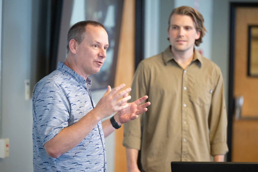
Professor Michael Bell's research focuses on studying the mesoscale structure and intensification of tropical cyclones throughout their life-cycle.
Professor Michael Bell leads the Tropical Weather and Climate Research team, which has a rich history of successful research into topics connected to hurricanes. He said their goal is always to provide forecasters with new tools and resources that can ultimately save lives and protect property.
“We look at storms and their structures across a variety of time and space scales. We offer seasonal forecasts each year that predict the total number of storms and help communities plan, and we also do research that helps the National Hurricane Center issue forecasts on specific storm activity such as rapid intensification,” he said. “At the smallest scales we study interactions such as the way ice crystals and raindrops form in these storms, which improves key modeling and forecasting activities by our federal, state and university research partners.”
DesRosiers said he was glad he picked CSU for his graduate school experience and was excited to see how developing technology such as buoys placed in the path of a storm could eventually provide better data and insight into rapid intensification.
“This is the place to study hurricanes. It is among the top departments in the world on this subject, and the research being done here is incredible,” he said. “It is a great program, and I am proud I was able to be a part of it.”
The stories in this Special Report from SOURCE showcase the university’s expertise in better understanding the rapid intensification of storms, community resilience planning and understanding how storms destroy buildings.