Video courtesy of CIRA and NOAA/NESDIS

Next-gen hurricane modeling

CSU alum part of team evaluating next-generation hurricane modeling       

story by Josh Rhoten
published July 11, 2024

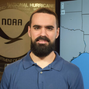
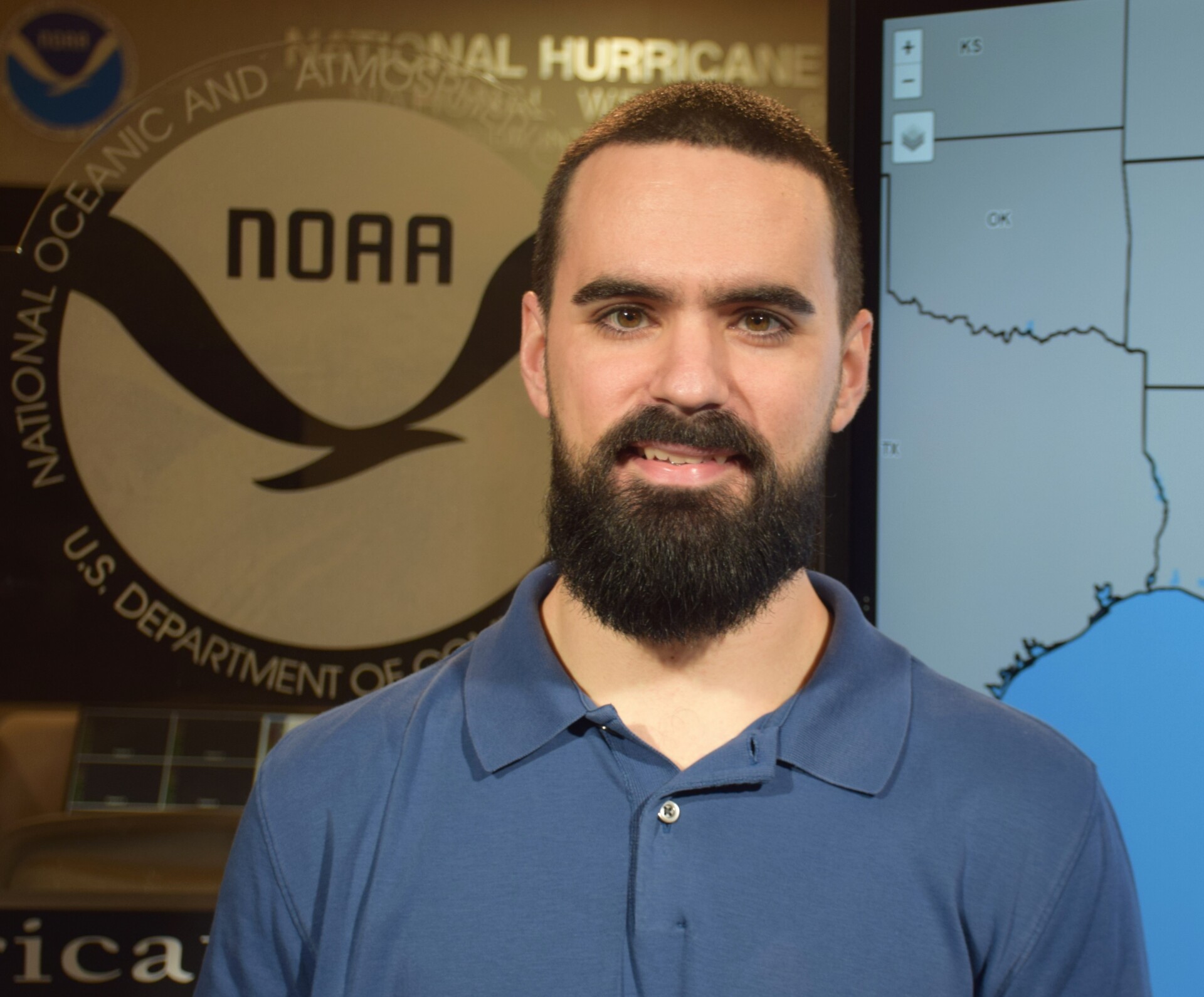
Growing up in south Florida, Jonathan Martinez developed an interest in hurricanes at an early age. He is quick to note that this is not uncommon for young residents of the state, but it did set him on a path toward studying the massive storms early on.

That path eventually led to a Ph.D. from Colorado State University’s Department of Atmospheric Science with a research focus on the factors that lead to hurricane intensification. Today, Martinez works at the National Hurricane Center, helping to analyze and evaluate the next-generation modeling technology used by forecasters, media and officials to make decisions and inform the public of possible risk.

Martinez’s role in the center is hosted through the Cooperative Institute for Research in the Atmosphere — or CIRA — a joint, long-running, multi-disciplinary partnership between the National Oceanic and Atmospheric Administration and Colorado State University. Scientists housed in the institute, like Martinez, work across institutions to bring fundamental research findings into practice in the real world.

Jonathan Martinez
Jonathan Martinez specializes in tropical cyclone research through the synthesis of aircraft Doppler radar observations, in situ measurements and numerical simulations.

Martinez is currently working with the new Hurricane Analysis and Forecast System – which will become fully active in 2025 – among other projects. The updated system is an example of the ways the institute has been bringing researchers together since 1980.

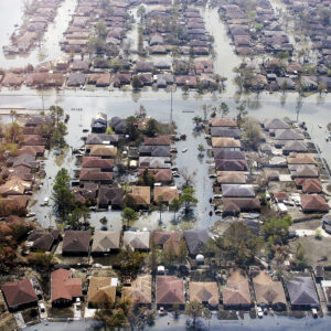
For the project, Martinez worked with forecasters to evaluate the new model compared to the current systems that have been in place for years and are still effective. To do that, they asked the new model to analyze the path of previous storms from the last three years and compare those predictions to what actually happened. They also studied other key variables, such as the system’s ability to accurately predict when a storm would rapidly intensify – gaining strength over a short period of time and becoming dangerous to life and property.

Martinez said advancements to the new forecast system will eventually include an enhanced ability to track multiple storms with high-resolution “nests.” He added that the new models would also provide higher resolution imagery, operational analysis and forecasts out to seven days, among other benefits.

Earth weather research partnership

NOAA renews Earth weather research partnership with CSU, CIRA for $308 million

“Forecasters are familiar with the existing models – including their limitations and biases – and that helps in the forecasting process because they know what to expect and where predictions may shift slightly over the course of a storm,” Martinez said. “The next-generation model I worked on evaluating builds upon existing infrastructure, but it will also have its own set of unique characteristics and biases. Part of our job is building and validating the models to make sure they work, but it is also helping build familiarity among forecasters before deployment.”

Martinez has also recently started contributing to a project updating windspeed probability models. Scheduled for operational implementation in 2026, the updated models will better account for wind hazards over land, offer higher resolution information about potential wind-related damage, and provide probabilities of major hurricane winds that were not available before.

“The wind speed probability model is the foundation of many public-facing graphics the center shares during storms that emergency managers and news outlets rely on,” he said. “There is a lot of work going into the calibration process now, and in unifying this with models informing the surge and wave products to improve forecasting ability overall.”

Martinez said he enjoyed working on these kinds of projects through the institute.

CIRA is a powerful nexus for the research to operations type work we need to keep accurately tracking and predicting these dangerous storms,” he said. “There is a cyclical progression of forecasters predicting these events and interacting with the research community to discuss the development of new tools, approaches and solutions that can help save lives next time. I am fortunate to be connected to both aspects of that process through my degree and work, and I am grateful to be able to interact with research and operations communities every day.”

Is rapid intensification really becoming more common?

The Atlantic has seen several hurricanes rapidly intensify like Hurricane Laura in recent years.