Colorado State University hurricane researchers[1] continue to predict an above-average Atlantic hurricane season. They cite both neutral El Niño-Southern Oscillation (ENSO) conditions and a warmer than normal tropical Atlantic as the primary reasons for this above-average prediction.
The tropical eastern and central Pacific currently have slightly warmer-than-normal sea surface temperatures, but the odds of an El Niño event have diminished considerably from what was anticipated in earlier outlooks. The tropical Atlantic has been much warmer than normal for the past several months, and is likely to remain so, therefore providing more fuel for developing tropical cyclones. However, the far North Atlantic remains quite cold, and this tends to create atmospheric conditions associated with increased sinking and drying motion. In general though, overall conditions appear to indicate that an above-average Atlantic hurricane season is the most likely scenario.
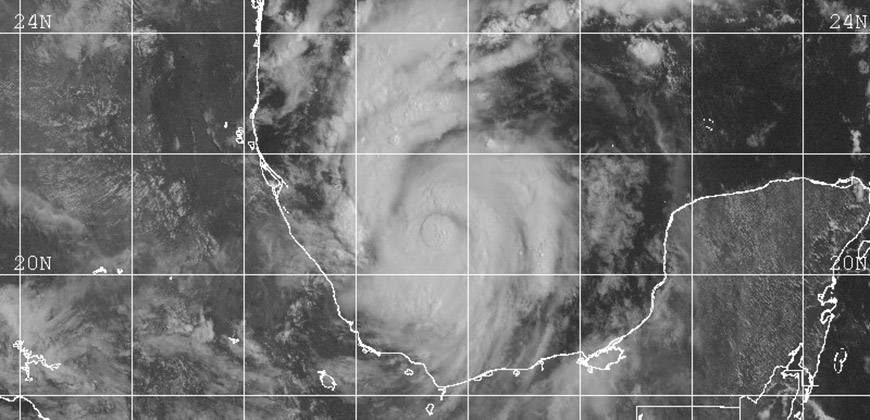
The CSU Tropical Meteorology Project[2] team is predicting a total of 11 additional named storms to form after Aug. 1. Of those, researchers expect eight to become hurricanes and three to reach major hurricane strength (Saffir/Simpson category 3-4-5) with sustained winds of 111 miles per hour or greater. These forecast numbers do not include Tropical Cyclones Arlene, Bret, Cindy, Don and Emily which formed prior to Aug. 1.
The team bases its forecasts on over 60 years of historical data that include Atlantic sea surface temperatures, sea level pressures, vertical wind shear levels (the change in wind direction and speed with height in the atmosphere), El Niño (warming of waters in the central and eastern tropical Pacific), and other factors.
So far, the 2017 hurricane season is exhibiting characteristics similar to 1953, 1969, 1979, 2001 and 2004.
“In general, most of these seasons experienced somewhat above-average activity, with 2004 being an extraordinarily active season,” said Phil Klotzbach, research scientist in the Department of Atmospheric Science and lead author of the report.
The team predicts that 2017 hurricane activity will be about 145 percent of the average season. By comparison, 2016’s hurricane activity was about 150 percent of the average season.
This is the 34th year that the CSU hurricane research team has issued the Atlantic basin seasonal hurricane forecast. The late William Gray, professor in the Department of Atmospheric Science for over 40 years, launched the report in 1984.
The CSU forecast is intended to provide a best estimate of activity to be experienced during the upcoming season – not an exact measure.
Michael Bell, associate professor in the Department of Atmospheric Science at CSU and co-author of the report, cautioned coastal residents to take proper precautions.
“It takes only one landfall event near you to make this an active season,” Bell said.
The report also includes the post- July 31 probability of major hurricanes making landfall on U.S. soil:
- 62 percent for the entire U.S. coastline (full-season average for the last century is 52 percent)
- 38 percent for the U.S. East Coast including the Florida peninsula (full-season average for the last century is 31 percent)
- 38 percent for the Gulf Coast from the Florida panhandle westward to Brownsville (full-season average for the last century is 30 percent)
- 51 percent for the Caribbean (full-season average for the last century is 42 percent)
The forecast team also tracks the likelihood of tropical storm-force, hurricane-force and major hurricane-force winds occurring at specific locations along the coastal United States, the Caribbean and Central America through its Landfall Probability website[3].
The site provides information for all coastal states as well as 11 regions and 205 individual counties along the U.S. coastline from Brownsville, Texas, to Eastport, Maine.
Landfall probabilities for regions and counties are adjusted based on the current climate and its projected effects on the upcoming hurricane season.
Klotzbach and Bell update the site regularly with assistance from the GeoGraphics Laboratory at Bridgewater State University in Massachusetts.
Funding for this year’s report has been provided by Interstate Restoration, Ironshore Insurance, the Insurance Information Institute and a grant from the G. Unger Vetlesen Foundation.
ATLANTIC BASIN HURRICANE FORECAST FOR 2017:
-Released Aug. 4, 2017-
Tropical Cyclone Parameters Extended Range
(1981-2010 Climatological Median Forecast for 2017 in parentheses)
Named Storms (12)* 16**
Named Storm Days (60.1) 70
Hurricanes (6.5) 8
Hurricane Days (21.3) 35
Major Hurricanes (2.0) 3
Major Hurricane Days (3.9) 7
Accumulated Cyclone Energy (92) 135
Net Tropical Cyclone Activity (103%) 140
* Numbers in ( ) represent full-season medians based on 1981-2010 data.
** Forecast numbers include tropical cyclones that formed prior to Aug. 1.