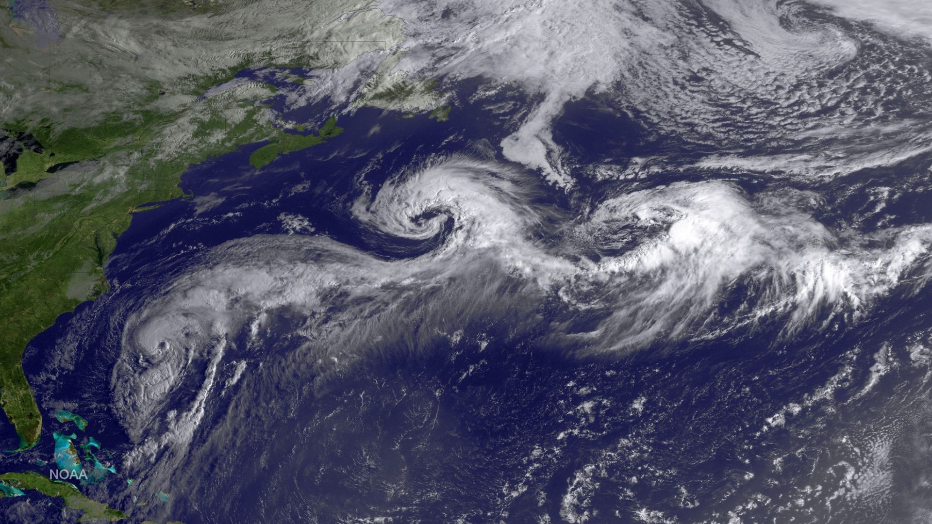
Hurricane activity in the Atlantic basin was below average in 2014, matching predictions made throughout the year by the Colorado State University hurricane forecast team.
Eight named storms, six hurricanes and two major hurricanes formed during the 2014 Atlantic basin hurricane season, which runs from June to November.
The CSU team originally called for nine named storms, three hurricanes and one major hurricane. It later revised its predictions to 10 named storms, four hurricanes and one major hurricane.
The CSU Tropical Meteorology Project team of Phil Klotzbach and William Gray also closely predicted the seasonal Accumulated Cyclone Energy – or ACE. 
Seasonal values of ACE approximate the energy generated by all of the storms that form during a particular year and is considered to be a more robust measure for overall storm activity than the number of named storms or hurricanes. The ACE for 2014 was recorded at 66 units. Klotzbach and Gray called for 65 units.
“The 2014 hurricane season had activity at levels close to what we predicted. The season had a below-average number of named storms but near normal numbers of hurricanes and major hurricanes. Most of the tropical cyclones that formed this year were short-lived,” said Klotzbach, lead author of the forecast.
Why a quiet season?
Klotzbach and Gray attributed the relatively quiet season to several factors, according to their end-of-season verification report:
- Tropical Atlantic sea surface temperatures were slightly cooler than normal.
- Mid-level air was much drier than normal.
- Vertical wind shear, especially in the Caribbean, was quite strong.
- Sinking motion dominated the tropical Atlantic and Caribbean.
- Though an El Nino did not develop as predicted, the large-scale circulation in the tropical Atlantic resembled conditions typically seen in El Nino years.
The Tropical Meteorology Project has issued forecasts for 31 years.
The team bases its annual forecasts on 60 years of historical data and includes factors such as Atlantic sea surface temperatures and sea level pressures, levels of vertical wind shear (the change in wind direction and speed with height), El Nino (an anomalous warming of waters in the central and eastern tropical Pacific) and other factors.
Seasonal statistics
2014 hurricane statistics include:
- The eight named storms that formed in 2014 were the fewest to occur since 1997.
- The July-September 2014 vertical wind shear in the Caribbean was the strongest since 1986.
- Florida has gone without a hurricane impact for nine years, the longest period on record. The previous record of five years ran from 1980-1984.
- No major hurricanes made landfall in the United States in 2014. The last major hurricane to do so was Wilma in 2005. This is the longest stretch the U.S. has gone without a major hurricane making landfall since 1878.
“It’s remarkable that we have not had a major hurricane make landfall in the United States for so many years,” Klotzbach said. “Steering currents have been such that hurricanes moving towards to the US have recurved out to sea before reaching the coastline.”
More overall activity
Overall, however, the Atlantic basin has experienced an increase in major hurricane activity since the mid-1990s. From 1995-2013, the basin has averaged 3.5 major hurricanes per year compared to 1.5 per year from 1970-1994.
Klotzbach and Gray attribute the upturn in major hurricane activity since 1995 as well as the earlier increase in major hurricane activity from the late 1940s through the mid-1960s to natural multi-decadal variability in the strength of the Atlantic Multidecadal Oscillation (AMO) or Atlantic Thermohaline Circulation (THC).
When the AMO/THC is positive, a variety of large-scale factors known to influence hurricane activity such as sea surface temperatures, sea level pressures and vertical wind shear tend to be in a mode favorable for hurricane formation, while they tend to be in a mode unfavorable for hurricane formation when the AMO/THC is negative.
While the past two years have had below-average Atlantic basin activity, the recent return to warm SST anomalies in the North Atlantic leads the team to believe that the THC/AMO is still stronger than normal.
Funding for this year’s report has been provided by Interstate Restoration and Ironshore Insurance.
A brief qualitative outlook for the 2015 hurricane season will be issued on December 11 with a first full forecast issued on April 9, 2015.