Click on the image above to start exploring the interactive campus map and the special Commencement layer.
Commencement is a time of celebration for families and friends from near and far. And for folks who haven’t been on the Colorado State campus in a while, it can be a time of confusion. Where to park, which roads are open, which are under construction?
Anyone can find answers to their navigation questions on the interactive campus map at maps.colostate.edu. A special Commencement layer has been added for this weekend, showing not only available parking but also which ceremonies will take place where and when.
Users can also get directions and share the map with the whole Ram family.
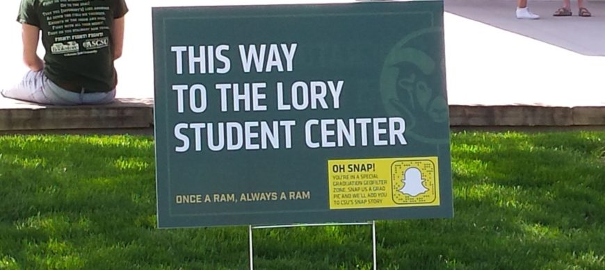
And once you’ve left your car — or if you use one of the many alternative transportation options to get to campus — look for the wayfinding signs to help you get to either the Lory Student Center or Moby Arena. Various colleges, departments and campus organizations, including the Bookstore and the Alumni Association, have sponsored the 86 signs planted around campus.